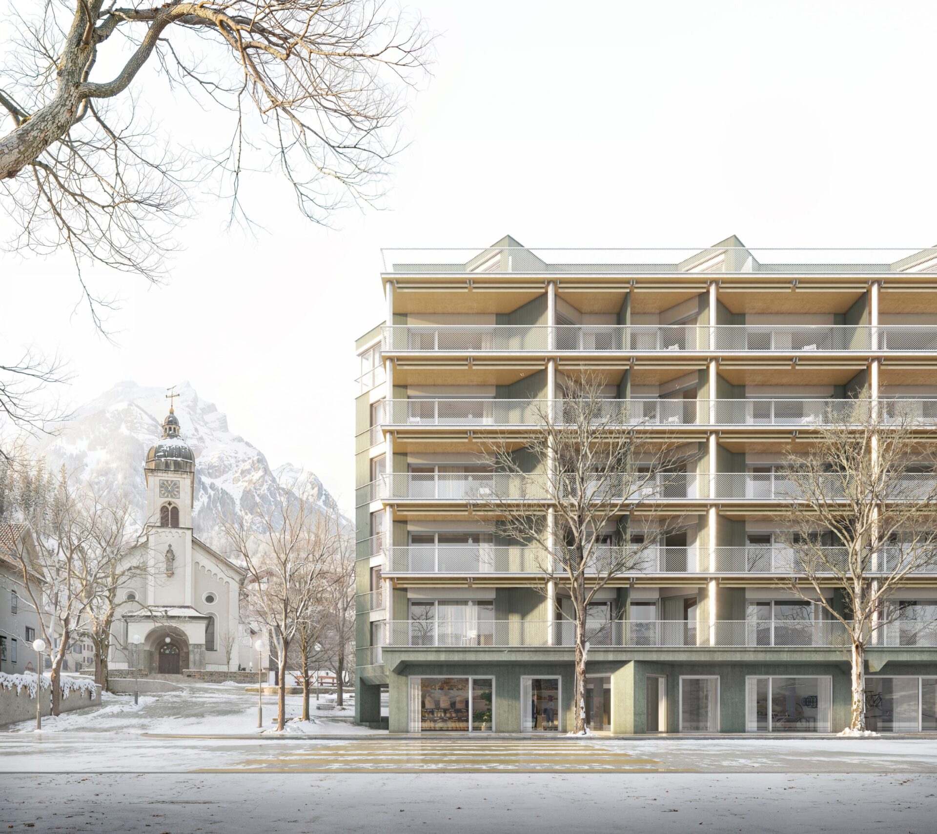
New “Rössli” residential building, Hergiswil The project site occupies a strategic position at the interface between the town center and the historic core, playing a key role in connecting the village center with the lakefront. The existing central square can be understood as a sequence of articulated public spaces whose spatial definition gradually dissolves at the transition toward the development plot. The proposed project responds to this threshold condition with a clear and recognizable urban structure, capable of establishing precise relationships both toward the lake and Seestrasse and toward the square, acting as a mediating element between different spatial systems.The urban design reinforces the development...
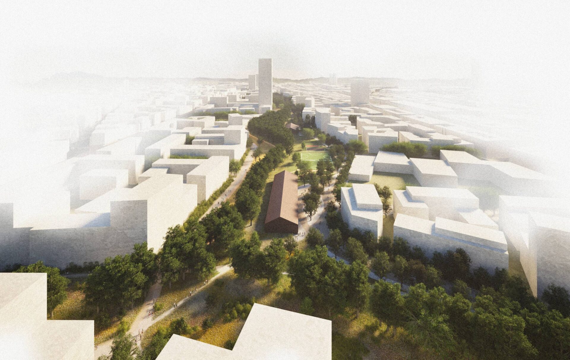
Nordwestbahnhof outdoor spaces, Wien IntroductionThe Nordwestbahnhof Wien landscape masterplan tells a layered and complex story about the area. Originally part of a river system, the site was reshaped by the regulation of the Danube and later transformed into a strategic railway infrastructure hub.During the Second World War, the station building was used as a propaganda exhibition space, and a forced labor camp was established on the site. After the war, the area continued to function as a freight transport hub until operations definitively ceased in 2021.Today, the 44-hectare Nordwestbahnhof site represents a unique opportunity for urban transformation. The Nordwestbahnhof Vienna landscape masterplan supports the...
Extension of the Cantonal School of Wohlen Landscape and Urban IntegrationThe Wohlen Cantonal School landscape design project addresses the extension of the campus and the transformation of its surrounding open spaces. The site lies at the boundary between large-scale infrastructure and smaller residential neighborhoods embedded in green surroundings. In addition, the entire area benefits from a privileged position along the Bünz River, offering significant potential to integrate the river into the surrounding environment and make it both perceptible and accessible.The design of the new school building responds to this heterogeneous context by seeking a balance between landscape integration and urban configuration. At the same time, the new...
Urban Development of the School “Brühl”, Dornach Urban IntegrationThe Brühl School Dornach landscape design project addresses the urban and landscape integration of the primary school and kindergarten campus.The site of the Brühl primary school and kindergarten in Dornach, Canton of Solothurn, lies within a small and leafy residential neighbourhood. It is located along the axis connecting the river landscape of the Birs with the historic centre of the town.To the west of the primary school, a dense tree canopy gives the site an intimate atmosphere. At the same time, it acts as an important buffer towards the large-scale infrastructures of the industrial area and the nearby railway...
Monticelli Health Park The Monticelli neighborhood was designed according to rationalist principles, but implementation has not fully respected these theories, generating spatial fragmentation and social degradation.The intervention area of about 6.3 hectares is bordered to the south by the Tronto River and to the north by large residential complexes. It includes sports areas, children's playgrounds, a dog area, derelict areas, a recreational club and a worship building. In terms of accessibility, the private car is the predominant means of transportation, while public transportation is limited, and a bicycle and pedestrian path is the only infrastructure to make use of the green areas.The area...
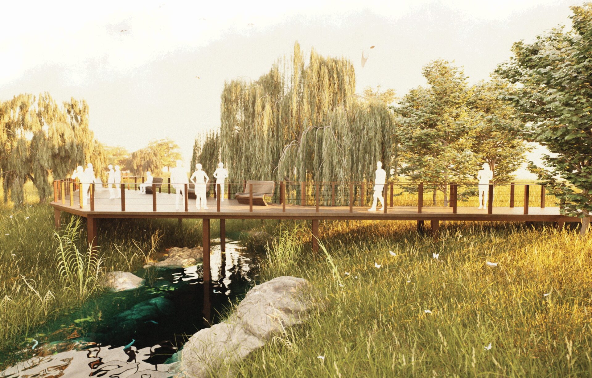
A Public Park in Kriens, “Grabenhofpark” The Grabenhof area is located within a rapidly transforming context, at the boundary between the municipalities of Kriens and Horw, within the sphere of influence of the city of Lucerne. Over the past two decades, these territories have undergone intense urban development, progressively reshaping the landscape. The name “Grabenhof,” literally meaning “farmstead by the ditch,” reflects its topographical origin: an area defined by a natural trench, such as the Schlimbach stream, once used as agricultural land and later transformed into allotment gardens. Today, this ongoing evolution opens the way for a new identity for the site. Situated between major urban...